

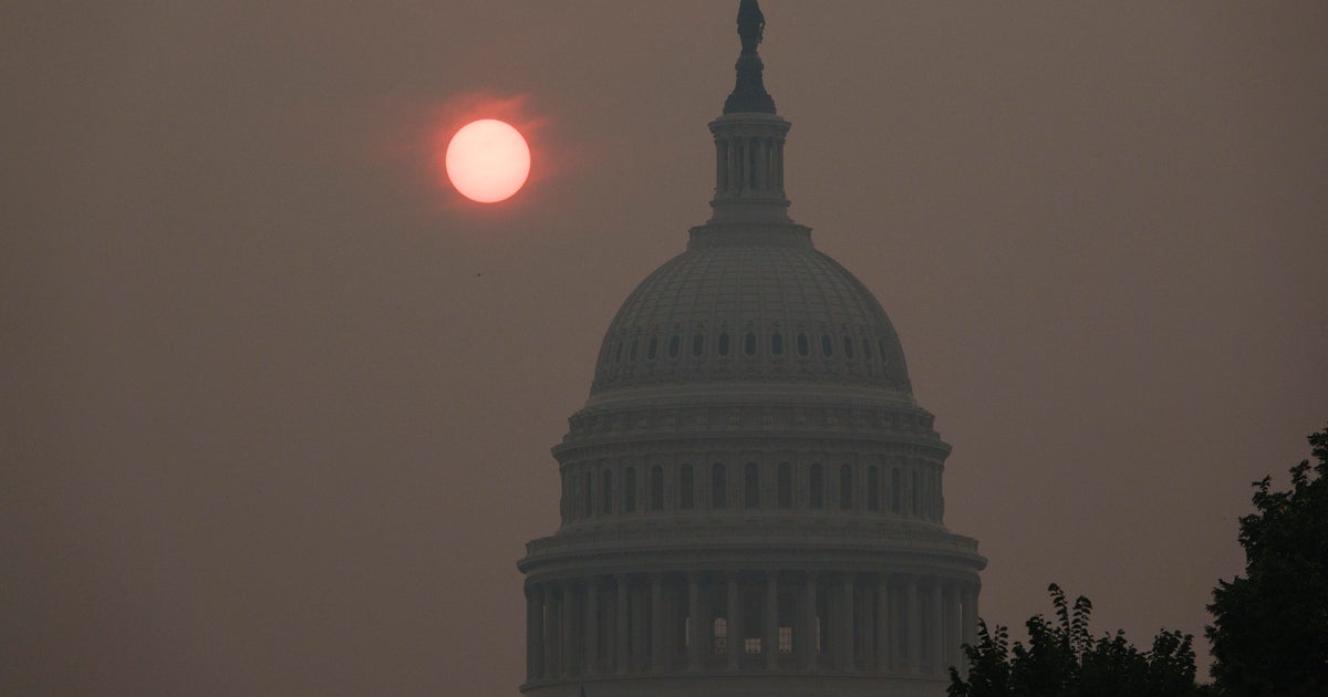
Watch CBS News More than 50 million people in the Northeast and Mid-Atlantic are at risk for severe weather this weekend while Canadian wildfire smoke continues to impact air quality.A severe weather threat is in effect from the Ohio Valley through the Mid-Atlantic and Northeast. Residents of towns and cities including New York City, Washington, D.C., Philadelphia, Pittsburgh and Cleveland could see damaging winds, large hail, isolated tornadoes and flash flooding.A severe thunderstorm watch is in effect over Chicago, Ithaca, Cleveland and Pittsburgh. Philadelphia and D.C. are under a tornado watch until 9:00 p.m. local time with EF-2 tornadoes possible. A severe thunderstorm and tornado watch are in effect over parts of Northeast and Mid-Atlantic. CBS News/ Andrew Kozak The National Weather Service said Northeast residents face the potential for scattered flash flooding from D.C. to Boston, with rounds of storms possible ahead of a cold front moving into the region. Urban areas with high runoff will be the most susceptible to flash flooding. New York City had a flood watch in effect as the city braced for thunderstorms and high wind gusts.Air quality conditions are expected to improve in the East as the cold front moves through. Heavy smoke from wildfires blazing in Canada and Minnesota has been smothering the Midwest and Northeast this week, bringing hazardous air quality for millions of people. The blanket of smoke…
Published: July 18, 2026 4:56 pm
Source: CBS News — Read original